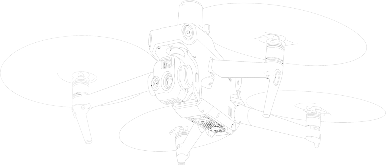
A revolution in the field of surveying
By Monty
Drones have revolutionised the field of surveying, bringing about significant advancements and improvements in the way we collect data, monitor landscapes, and conduct various mapping tasks.

“The impact of drones on surveying is multifaceted and has had far-reaching consequences in terms of efficiency, accuracy, and cost-effectiveness.”

Enhanced Efficiency:
One of the most notable impacts of drones in surveying is their ability to dramatically increase efficiency. Traditional surveying methods often involve time-consuming manual measurements and data collection, which can be labour-intensive and slow. Drones, on the other hand, can cover large areas quickly and collect data from multiple angles. This accelerated data acquisition process allows surveyors to complete projects in a fraction of the time it would take using conventional methods.
Improved Accuracy:
Drones equipped with high-resolution cameras, LiDAR (Light Detection and Ranging) sensors, and GPS technology, collectively offer exceptional data accuracy. These tools enable precise measurements and mapping, reducing human error and improving the overall quality of survey data. As a result, surveyors can produce more reliable and detailed 3D models, maps and drawings, which are crucial for various applications, such as urban planning, construction, and land management.
“Without ground control points you cannot obtain the acuracy. Without ground check points you cannot prove the accuracy.”
Cost-Effectiveness:
Drones have made surveying more cost-effective by reducing the need for extensive fieldwork and manpower. Traditional surveys often involve sending teams of surveyors to remote or challenging terrains, incurring significant expenses for transportation and accommodation. Drones eliminate some of these costs, as they can access hard-to-reach areas and collect data without the need for extensive on-site personnel. This cost reduction has made surveying more accessible to a wider range of industries and projects.
Safety:
Drones also improve safety in surveying. Surveyors often work in hazardous environments, such as construction sites, mining areas, or disaster-stricken regions. Sending drones to collect data in these environments minimizes the risks to human surveyors. This not only protects the well-being of surveying professionals but also ensures that data collection can continue even in dangerous conditions.
Environmental Impact:
Reducing the need for on-site visits and heavy machinery can have a positive environmental impact. Drones consume less energy and produce fewer emissions compared to traditional surveying equipment and vehicles. This contributes to the overall sustainability of surveying practices, aligning with global efforts to reduce the carbon footprint of various industries.
The use of drones for surveying has had a profound impact on the field, revolutionising the way we gather and analyse geographical data. Their efficiency, accuracy, cost-effectiveness, safety benefits, and environmental considerations make them an indispensable tool for a wide range of applications, from land development and infrastructure planning to environmental monitoring and disaster response. As drone technology continues to advance, we can expect even greater improvements in surveying capabilities and further integration into various industries.


